The United Nations' World Meteorological Organization (WMO) has warned that a record-breaking hot year is almost certain by 2030, with an El Niño event expected later this year that could push global temperatures to new highs as soon as 2027. The report, produced by the UK Met Office, predicts an 86% chance that at least one year between 2026 and 2030 will surpass 2024 as the hottest ever recorded.
There is a 75% chance that the average temperature for the five-year period from 2026 to 2030 will exceed 1.5C above pre-industrial levels, a key threshold set by the Paris Agreement. While the 1.5C target is now unlikely to be met, the weaker 2C target remains within reach if urgent action is taken. The report found less than a 1% chance that any single year from 2026 to 2030 will exceed 2C above the pre-industrial average.
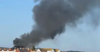
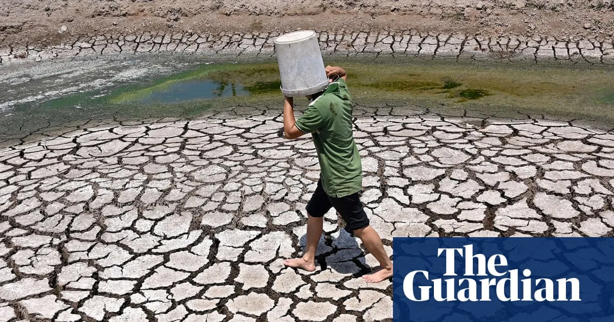
Carbon dioxide emissions from fossil fuels continue to rise, trapping more heat and driving extreme weather, including the record-breaking heatwave that has hit the UK and Europe this week. Global heating is already estimated to be taking one life every minute, with the toll likely to rise unless emissions fall rapidly.

Simon Stiell, the UN climate chief, said: 'The latest heatwave in Europe is a brutal reminder of the spiralling impacts of the climate crisis, both human and economic. Protecting human lives, businesses and economies from extreme heat and the many other soaring costs of climate change is core business for every nation, and it starts with kicking the fossil fuel addiction much faster.'
Global temperatures are expected to be boosted by El Niño, the natural weather pattern now expected by the end of the year. The US National Oceanic and Atmospheric Administration forecasts a 96% chance of an El Niño in December 2026 to February 2027, with a 35% chance of a super El Niño. Dr Leon Hermanson, lead author of the WMO report, said: 'There is an El Niño predicted for the end of 2026, which increases the chances of the following year, 2027, being the next record-breaking year.'
The report also predicts that the next five winters in the Arctic will be 2.8C above recent averages, with the region heating up more than three times faster than the global average. Rainfall predictions suggest northern Europe, the Sahel, Alaska and Siberia are likely to be wetter than usual from May to September over the next five years, while the Amazon is likely to be drier.