
The Met Office has officially named the next significant weather system to impact the United Kingdom as Storm Chandra, with a series of fresh weather warnings issued for Monday night and Tuesday. Forecasters are predicting a potent mix of strong winds, heavy rainfall, and significant snowfall across various regions, raising concerns about potential flooding and widespread travel disruption.
Amber Warnings for South-West England and Northern Ireland
Several amber weather warnings have been activated, highlighting areas where the impacts are expected to be most severe. For south-west England, encompassing south Devon, much of Dorset, southern Somerset, and south-east Cornwall, an amber warning for rain is in effect. Forecasters anticipate widespread rainfall of 30-50mm, with higher ground on south Dartmoor potentially seeing accumulations of 60-80mm.
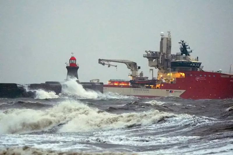
Simultaneously, the eastern coast of Northern Ireland is under an amber warning for wind. The Met Office has warned that gusts of 60-70mph are likely, with the possibility of 75mph gusts in exposed coastal locations. Officials noted that easterly winds of this strength are relatively unusual for the region and are likely to prove impactful.

Extensive Yellow Warnings Issued Nationwide
In addition to the amber alerts, a broader swathe of yellow warnings covers much of the country. All of Northern Ireland and a more extensive area of south-west England are under yellow warnings for rain and wind. A specific yellow wind warning also covers Cornwall, south-western Wales, and parts of northern Devon.
Further north, yellow warnings for snow have been issued for Scotland and northern England. Forecasters predict 2-5cm of snow could fall widely, with higher elevations potentially seeing accumulations of 10-20cm. This includes areas like the Pennines, southern Scotland, and the Highlands.
Flooding Risks on Saturated Ground
The Environment Agency reported that, as of 1pm on Monday, there were 21 flood warnings and 124 flood alerts active across England. The majority of flood warnings are concentrated in the South West, with two additional warnings in place around the city of York. The risk is exacerbated as heavy rain is forecast to fall on ground already saturated from previous storms.
Met Office chief forecaster Paul Gundersen provided detailed analysis of the hazards. He stated that initially, strong winds will impact the Isles of Scilly, western Cornwall, and south-west Wales, areas still vulnerable after the recent Storm Goretti, with gusts of 70 to 80mph possible. He emphasised the dual hazard of heavy rain on saturated ground in Dorset and southern parts of Devon, Somerset, and Cornwall.
"As Chandra interacts with colder air further north, snow becomes a hazard," Gundersen added. "With a complex spell of weather, it's important people stay up to date with the forecast and any warnings in your area."
Travel Advice and Safety Precautions
Nick Mullender, team leader for the RAC's mobile servicing and repairs, issued stark advice for motorists. "Flooding is highly likely, making many roads dangerous," he said. "Our message to drivers is simple: do not drive through standing water unless you are completely certain the water is shallow enough and it's safe to do so."
Mullender urged drivers to slow down, stay alert, and allow extra time for journeys, noting that wet roads can double stopping distances. He also advised those with known vehicle faults to avoid unnecessary journeys and seek prompt repairs from a trusted mechanic.
Storm Chandra is the latest system to be named under the western Europe storm naming group, a collaborative list shared between the UK, Ireland, and the Netherlands. The naming follows Storm Ingrid, which caused significant damage over the weekend, including washing away part of a historic pier.


