
Storm Chandra Named as Met Office Issues Fresh Weather Warnings
Forecasters have announced that flooding and travel disruption are likely in some places as the next named storm approaches the United Kingdom. The Met Office has designated the incoming weather system as Storm Chandra, which is forecast to bring a potent mix of strong winds, heavy rain and significant snow across much of the country from Monday night into Tuesday.
Widespread Hazards and Amber Alerts
The Met Office has issued several weather warnings, including amber alerts for specific regions. An amber warning for wind covers the eastern coast of Northern Ireland, where gusts of 60-70mph are expected, with the possibility of 75mph gusts in coastal locations. The forecaster noted that "easterly winds of this strength are unusual and are likely to be impactful." Simultaneously, an amber warning for rain is in place for south Devon, much of Dorset, southern Somerset and south-east Cornwall. In these areas, 30-50mm of rain could fall widely, with up to 60-80mm anticipated over the higher ground of south Dartmoor.
Further Warnings and Snow Forecast
Less severe yellow warnings have been issued for all of Northern Ireland and a more extensive area of south-west England, alongside parts of northern England and Scotland. A separate yellow warning for wind covers Cornwall, southwestern Wales and parts of northern Devon. Additionally, yellow warnings for snow have been activated for Scotland and northern England, where 2-5cm could fall widely and accumulations of 10-20cm are possible at higher elevations. Met Office chief forecaster Paul Gundersen explained: "As Chandra interacts with colder air further north snow becomes a hazard, with 10-20cm of snow possibly accumulating over higher ground in the Pennines, southern Scotland and the Highlands."

Flood Risks and Travel Advice
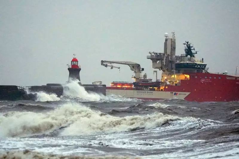
An update from the Environment Agency shows 21 flood warnings and 114 flood alerts are currently in place across England, with most flood warnings concentrated in the South West and two around York. This comes after Storm Ingrid caused significant damage over the weekend, washing away part of a historic pier. RAC mobile servicing and repairs team leader Nick Mullender advised drivers: "Flooding is highly likely, making many roads dangerous. Our message to drivers is simple: do not drive through standing water unless you are completely certain the water is shallow enough and it’s safe to do so. In these conditions, drivers need to slow down and stay alert." He emphasised that wet roads can double stopping distances, urging a cautious approach and prompt attention to vehicle faults.
Broader Context and Safety Reminders
Storm Chandra is the next storm to be named by the western Europe storm naming group, a list shared between the UK, Ireland and the Netherlands. Paul Gundersen added: "Initially, strong winds will impact the Isles of Scilly, western Cornwall and south-west Wales which are still vulnerable after Storm Goretti, gusts of 70 to 80mph are possible here. Heavy rain is an additional hazard as it falls on saturated ground in Dorset and southern parts of Devon, Somerset and Cornwall." With what he described as a "complex spell of weather," he stressed the importance for people to stay updated with the latest forecasts and warnings in their local areas to ensure safety during the challenging conditions.


