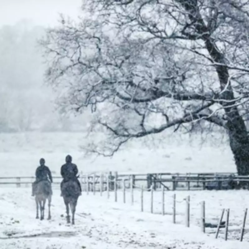
Striking weather maps from WXCharts reveal that the United Kingdom is set to experience a severe Arctic chill in mid-April, with temperatures plummeting to as low as -4C in some areas. This wintry blast, forecast for around April 14, will bring snow and sleet to regions including north Wales and western Scotland, marking a stark contrast to the balmy conditions expected earlier in the week.
Forecast Details and Impact
According to the maps, compiled using Metdesk data, the freezing temperatures will begin to grip the nation at approximately 6am on April 14. Parts of Scotland, particularly areas surrounding Inverness in the Scottish Highlands, are predicted to bear the brunt of the sub-zero conditions, with readings potentially tumbling to -4C. The cold snap is attributed to a band of low pressure sweeping in from the west, accompanied by strong southeasterly winds.
Regional Temperature Plunge
The Arctic chill is not confined to Scotland; it could push southwards, sending temperatures below freezing in major cities across northern England. For instance, Newcastle might see 0C, York and Carlisle could drop to -1C, while Manchester and Stoke on Trent may hover around 1C. This sharp downturn arrives just days after parts of the UK are anticipated to bask in 24C heat, with the warmest spells expected across the Southwest, Southeast, East Midlands, and East of England.

Met Office meteorologist Greg Dewhurst commented on the upcoming warm period, stating, "On Tuesday, warmer air moves in across England and Wales from the near continent through Tuesday and into Wednesday. We will see temperatures rising to the low 20s, with highs around 20C or 21C on Tuesday, and possibly 23C or 24C come Wednesday. The sunniest skies on Wednesday may be limited to south-east England, where 23C and 24C is most likely."
Long-Range Weather Outlook
Beyond the immediate cold snap, the Met Office's long-range forecast for April 11-20 suggests changeable conditions with showers or occasional longer spells of rain affecting many areas. The forecast notes, "It will likely remain rather changeable during the first part of this period with showers or occasional longer spells of rain affecting many areas. Whether this takes the form of successive weather systems pushing in from the Atlantic, or a more slowly evolving weather pattern, is rather more unclear."
Some drier, brighter interludes are expected, and when winds are light, it should feel quite warm, despite temperatures likely being close to normal for most. However, beyond mid-month, high pressure may become more dominant, potentially bringing drier and perhaps warmer weather, though this will depend on the location and proximity of any high-pressure systems relative to the UK.
Temperature Snapshot for April 14
- Inverness: -4C
- Aberdeen: -3C
- Newcastle: 0C
- York: -1C
- Carlisle: -1C
- Manchester: 1C
- Stoke on Trent: 1C
- Leeds: -1C
- Liverpool: -1C
This forecast highlights the unpredictable nature of British weather during meteorological spring, with a rapid shift from summer-like warmth to wintery cold within days. Residents are advised to stay updated on local weather warnings and prepare for potential disruptions due to snow and icy conditions.