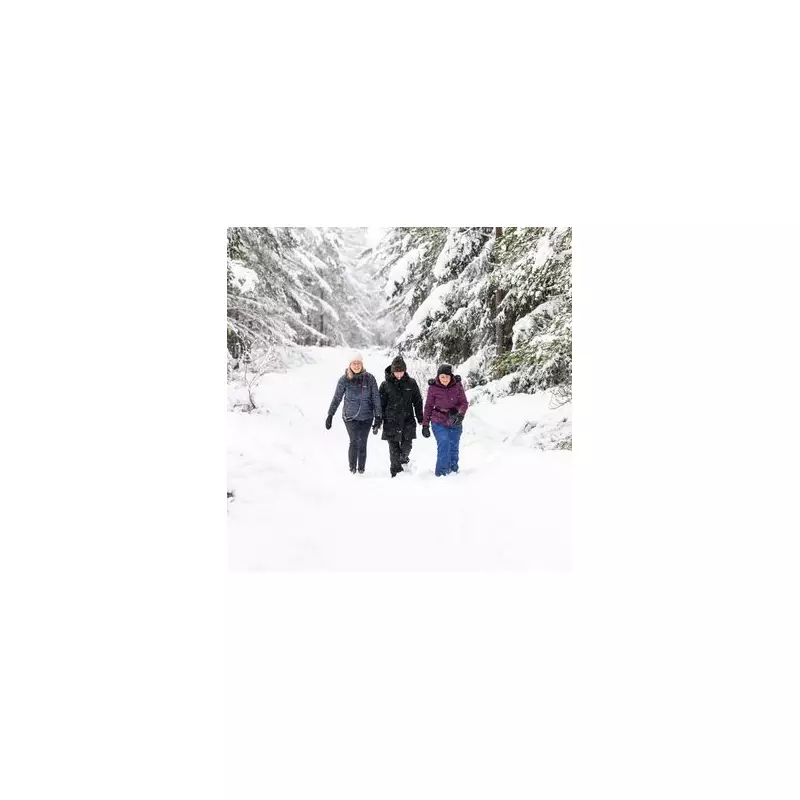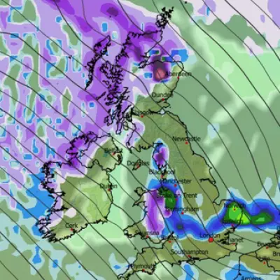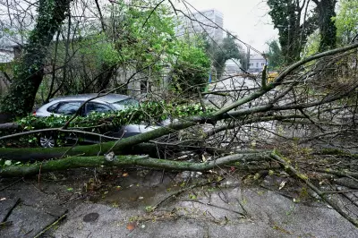
The Met Office has escalated its weather alerts, issuing a fresh yellow warning for snow and ice that blankets 40 specific areas across the United Kingdom. The alert comes as Storm Goretti continues to drive wintry conditions across the nation.
Where and When the Snow Will Strike
The new warning is in force from 8pm on Thursday, 8 January 2026, until 12pm on Friday, 9 January. It predominantly covers large swathes of Scotland and northern England. The forecaster has warned that ice is expected to form widely as temperatures plummet overnight, causing surfaces to refreeze.
Furthermore, scattered wintry showers are forecast to push inland across parts of northern England and eastern Scotland through Thursday evening and overnight into Friday. These showers could bring further modest snow accumulations of a few centimetres, particularly inland and over higher ground.
Public Advised to Take Precautions
A yellow weather warning indicates that people should be aware of potential disruptions. The combination of ice and fresh snow is likely to create hazardous conditions on untreated roads and pavements. The Met Office alert serves as a critical notice for residents in the affected regions to plan their travel accordingly and exercise caution.
The development follows a period of cold weather and is part of the ongoing impact of Storm Goretti, which is sweeping across the UK bringing this latest bout of disruptive winter weather.
Staying Informed on Winter Weather
With the warning in place until Friday midday, the situation remains fluid. The public is encouraged to stay updated with the latest forecasts from the Met Office and heed any travel advice from local authorities and transport providers. Ensuring vehicles are prepared for winter conditions and allowing extra time for journeys is highly recommended for those in the warning zones.


