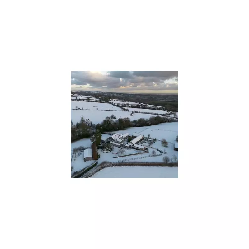
Millions across the United Kingdom have woken up to a stark white landscape as a severe Arctic freeze sweeps the nation, bringing significant snowfall and plunging temperatures. The Met Office has issued a series of warnings, cautioning that this prolonged spell of very cold weather is set to dominate the first week of 2026, with travel chaos already unfolding and the potential for a second major snow event next week.
Widespread Disruption and Amber Warnings
The new year has begun with a sub-zero grip, causing severe conditions nationwide. The Met Office has escalated its alerts, placing parts of Scotland under an amber warning for snow from midday on January 2nd. Meanwhile, extensive yellow warnings for snow and ice are in force across many other regions. Forecasters predict that some areas could see accumulations of up to 40 centimetres (15 inches) of snow, with the harsh conditions likely to persist throughout the coming weekend.
The impact on transport has been immediate and severe. Rail and air travellers are facing widespread delays and cancellations, while road networks are experiencing major disruption. The AA has estimated that some 20.7 million car journeys were planned for January 2nd, a sharp increase from New Year's Day, with many drivers now confronting hazardous conditions. Authorities are also warning of potential power cuts as the winter barrage continues.
A Brief Respite Before Another Potential Blizzard
While the south will see snow flurries clear to leave sunshine, the cold is set to remain. However, the reprieve may be short-lived. Fresh weather modelling indicates that a powerful second band of snow could sweep across the country from the early hours of Friday, January 9th. Some regions may again face the prospect of up to fifteen inches of snow, with London potentially waking up to around two inches.
A Met Office spokeswoman confirmed the enduring nature of this cold snap, stating: “We expect this cold spell to persist into the weekend and on into next week, with further warnings possible as temperatures remain well below average and snow showers continue in places.”
Five-Day Weather Outlook
Today (Jan 2): Heavy snow continues in northeast and northern Scotland. Rain and snow clears in the south, leaving sunshine but a cold northerly wind.
Tonight: A cold night with a hard frost developing. Further wintry showers are likely in areas exposed to the northerly wind.
Saturday: Remaining cold and wintry. Snow is expected on windy coastlines and in parts of northeast Scotland.
Sunday to Tuesday: The chilly conditions persist with widespread overnight frosts. Sunshine is expected in sheltered areas, but windward coasts could still see snow and sleet showers, easing by Monday.
Amid the disruption, the unexpected snowfall has brought joy to many, particularly children still on their school holidays. Social media has been filled with images of snowy scenes, like those in Mold, North Wales, as people celebrate the first widespread white morning in some time. Nevertheless, authorities continue to urge the public to stay informed, prepare for extended journey times, and exercise caution during this severe winter weather period.


