
The United Kingdom is navigating a treacherous and "messy transition" in its weather today, Sunday 11th January 2026, as the bitter Arctic cold of the past week collides with milder air arriving from the west. This clash is creating a hazardous cocktail of heavy snowfall, freezing rain, and strong winds, posing significant risks across large parts of the country.
Critical Weather Warnings and Snowfall Forecasts
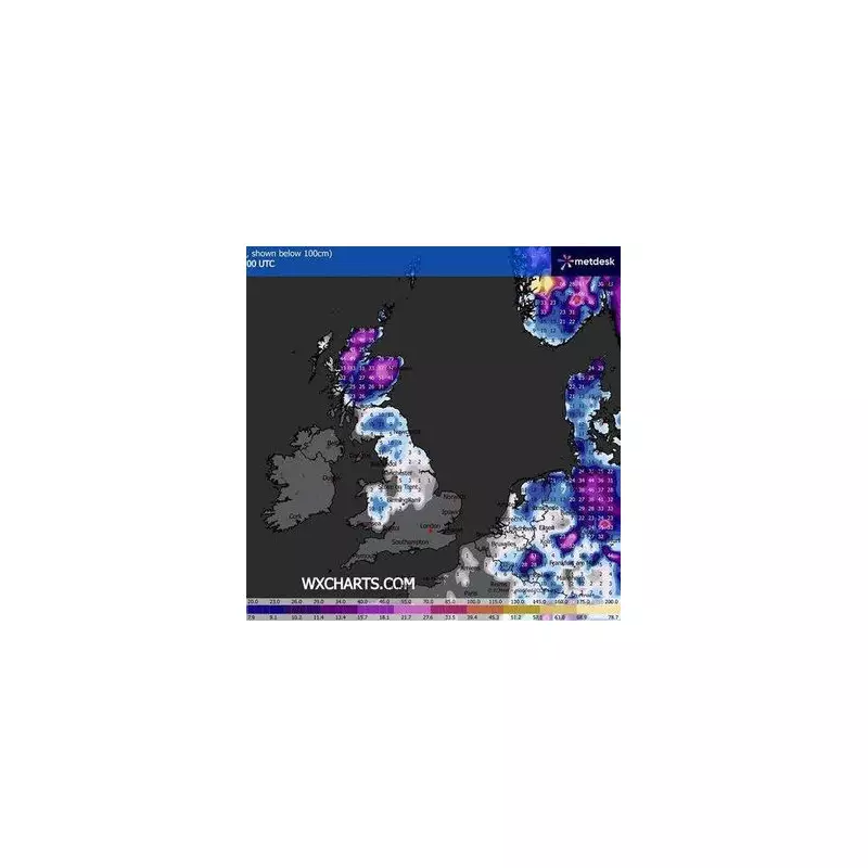
Forecasters have issued a series of severe weather alerts. An Amber Warning for snow remains active until 2pm today for parts of northern and central Scotland, including Aberdeenshire, Moray, and the Highlands. Residents in these areas are braced for an additional 5–15cm of snow at low levels, with a staggering 30cm possible on ground above 300 meters.
A broader Yellow Warning for snow and ice is in force until 3pm, covering much of Scotland, Northern England, the West and East Midlands, and Yorkshire. A band of snow is moving eastwards, potentially depositing 2–5cm at lower levels and up to 20cm on higher ground before it turns to rain.

Hidden Dangers: Black Ice and Flooding Threats
One of the most severe hazards today is the risk of freezing rain. As milder air overrides the cold air at the surface, rain can fall and freeze instantly upon contact with the ground, roads, and pavements. This creates a layer of "black ice," which is nearly invisible and far more dangerous for drivers and pedestrians than snow or slush.
Furthermore, agencies are warning of a dual threat as temperatures begin to rise. The Scottish Environment Protection Agency (SEPA) and the Met Office have highlighted that the rapid melting of existing snow, combined with heavy rain, could trigger flooding. Yellow rain warnings are active for Southwest Scotland and Cumbria, where up to 90mm of rain and meltwater could accumulate.
Widespread Travel Disruption and Ongoing Alerts
The severe conditions are causing major travel chaos. Snow gates are closed on several key routes, including the A939 between Cock Bridge and Tomintoul. National Rail has warned passengers of "continued disruption" until at least Monday, with several lines in Scotland and Northern England facing delays due to snow-blocked tracks and ice on the points.
Thousands of homes are still without power following the recent Storm Goretti, and today's heavy snow and wind are likely to hamper restoration efforts. In terms of public health, the UKHSA's Amber Cold Health Alert has been extended for all regions of England through to noon on Monday, 12th January. This underscores the continued risk to vulnerable groups after a week of sub-zero temperatures, which plunged as low as -13°C in Braemar.
The forecast indicates that this frigid spell is finally coming to an end. By tomorrow, the UK will say goodbye to the Arctic air, with temperatures expected to climb to 9–11C in the south and 6–8C in the north by Monday afternoon, marking a return to more typical, unsettled, and milder winter weather.


