
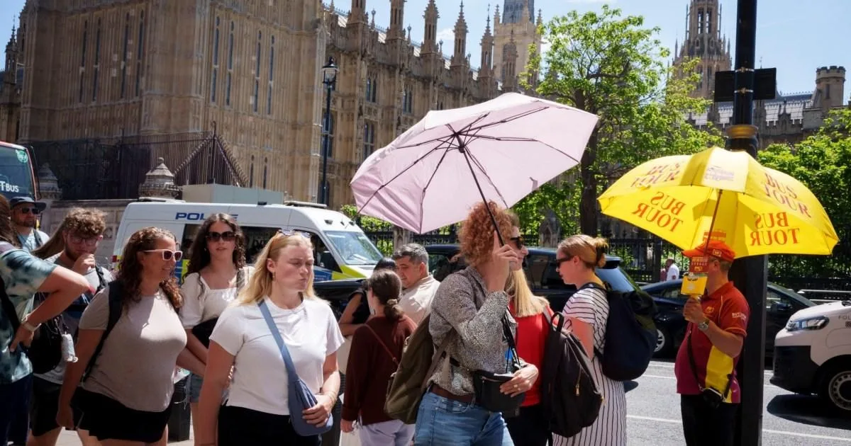
The Met Office has warned that this summer could bring more heatwaves, as it released its three-month outlook on June 1. The forecast comes after a week-long heatwave that began over the late May bank holiday shattered temperature records, including the warmest May night and the hottest May day on record, with 34.8°C recorded at Kew Gardens.
According to the Met Office, the chance of a hot summer is 'higher than normal', with an increased risk of heatwaves and 'heat-related impacts'. The forecaster stated that the next three months are likely to be twice as hot as the 1991-2020 reference period, citing global warming and El Niño as main drivers.
While the outlook also notes a higher chance of a wet season, it stresses that 'near average rainfall remains the most likely outcome'. For the upcoming weekend, rain is expected to move north-eastwards across the UK on Saturday, followed by some sunshine, though further showers and longer spells of rain are predicted.

More rain is expected over the next two weeks, with the northwest experiencing the wettest conditions. However, the second half of June is predicted to be drier with temperatures 'above normal', and heavy showers and thunderstorms are forecast for the south, where it may 'become hot'.