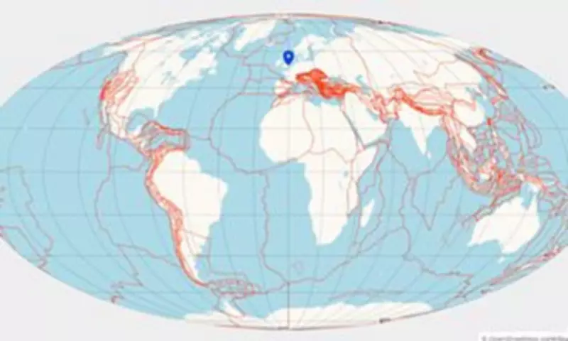
Scientists have unveiled a groundbreaking interactive map that allows anyone to discover where their hometown was located during the age of dinosaurs. Researchers from Utrecht University developed the Paleolatitude tool, based on the most detailed geological model of Earth's history, charting continental shifts over 320 million years.
How the Map Works
Users can select any location on the globe and wind back the millennia to see its journey from the ancient supercontinent Pangea. The tool displays a graph showing how the tectonic plate beneath that location moved over time, revealing its latitude at various points in the distant past.
For example, London's rocks were at 6°S 320 million years ago, placing the UK capital just south of the equator. In contrast, subtropical Sri Lanka was once located in the freezing waters near Antarctica.

UK's Remarkable Journey
Lead author Professor Douwe van Hinsbergen explained: 'Triassic rocks of about 250 million years old in England and the Netherlands indicate a desert environment with shallow tropical seas, similar to Arabia and the Persian Gulf today. Clicking on England shows it was at 20–30°N around 250 million years ago, matching Arabia's latitude.'
Scientific Breakthrough
The Paleolatitude model is the most detailed reconstruction of Earth's evolution. Scientists reconstructed hidden movements of mountain ranges, tectonic plates, and lost continents like Greater Adria and Argoland by 'unfolding' rock layers. They also analyzed magnetic traces in rocks to determine ancient latitudes.
Co-author Dr Bram Vaes noted: 'The Earth's magnetic field angle changes with latitude. Many rocks contain magnetic minerals that recorded the field direction when formed, allowing us to determine their latitude.'
India's Rocket Speed
The map reveals India underwent the most dramatic movement. For most of its history, northeastern India was near 60°S, close to Antarctica. Between 65 and 45 million years ago, it raced north at about 20 cm per year—'rocket speed for a geologist,' according to Professor van Hinsbergen. Meanwhile, the Caribbean has remained at the same tropical latitude for 150 million years, described as 'the world's oldest holiday resort.'
Ecological and Climate Insights
Beyond geological history, the model helps scientists understand Earth's ecology and climate. Sedimentary rocks and fossils provide clues about past environments, but knowing their latitude is crucial for interpretation.
Co-author Dr Emilia Jarochowska explained: 'Global biodiversity is driven by connectivity and energy from the Sun, which is highest at the equator. Latitude context is essential for interpreting fossil records and understanding how species responded to mass extinctions, dinosaur migrations, and future climate changes.'
The team plans to extend the model back 550 million years to the Cambrian Explosion, when life first emerged.