A powerful storm system is endangering tens of millions of Americans across the Midwest, bringing the threat of deadly flash floods and intense tornadoes expected to touch down within hours. The National Weather Service has issued severe thunderstorm warnings and flood watches for Michigan, Indiana, Illinois, Iowa, Kansas, Missouri, and Nebraska.
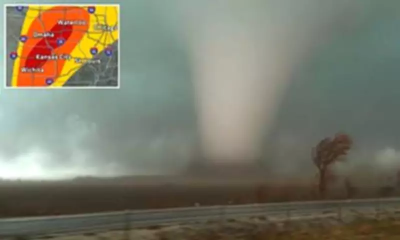
Severe Weather Outlook
Extreme weather conditions, including large hail, damaging winds exceeding 75 mph, and the potential for widespread tornadoes, have been forecasted for Wisconsin, Minnesota, the Dakotas, and Oklahoma starting Monday night and continuing through Tuesday. AccuWeather has warned that major cities such as Oklahoma City, Kansas City, Omaha, Des Moines, and Minneapolis face a high risk of dangerous storm activity on Monday night.
Hurricane-Force Winds Expected
Hurricane-force winds are anticipated to cause damage to local homes and businesses, potentially knocking out power across the affected region. The highest risk for 'intense tornadoes' on Monday is concentrated in southern Iowa, Nebraska, northwestern Missouri, and central Kansas.

AccuWeather Chief On-Air Meteorologist Bernie Rayno stated: 'There could be at least two dozen tornadoes from Monday afternoon through Monday night, with the potential for 40 to 50.' The National Weather Service has already issued tornado warnings for 22 counties in Kansas and six in Nebraska as of 2 p.m. ET, with each alert remaining in effect until 9 p.m. tonight.
This is a developing story, and further details will be provided as they become available.